Archer UAS
Offerings
Infrastructure
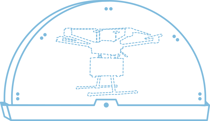
Our proprietary Ground Control Hub maintains a homeostatic environment, provides and ensures vehicle charge, and collects useful data for remote monitoring via Archer Networks.
Archer’s fully customizable lineup of vehicle instruments, including, onboard computers, LTE modems, LIDAR, data analytics and drop mechanisms bring a wide range of functionality to vehicle fleets for endless applications.
- Ground Control Hub open and ready for takeoff in less than four seconds
- Reliable and constant vehicle power supply
- 24/7 vehicle readiness
- LTE connectivity to monitor, manage, and deploy system remotely via Archer Networks
- Full suite of vehicle connectivity instruments
- LIDAR based obstacle avoidance

Survey
Archer Survey aggregates a wealth of up-to-date satellite imagery and GIS data to automatically pinpoint unobstructed coordinates for delivery, landing, or other mission-critical actions. Constantly updating, this data evolves with changes to the landscape—great for post-disaster response.
- Identify coordinates for emergency landing
- Pinpoint payload drop points free of trees, houses and other obstacles
- Account for changes to terrain, like hurricane damage
- Identify rooftops and driveways for emergency deliveries
- Custom drawing/selection tools
- Quickly survey large geographical areas

Networks

Fully customizable, Archer Networks enable a wide variety of mission types, both piloted and autonomous, on a user-friendly dashboard.
- Automated vehicle fleet monitoring
- Customizable notifications via SMS, email, and automated phone call
- Obstacle avoidance/geo-fencing for automated missions
- Automated vehicle deployment for various mission types
- Live go/no-go mission verification for remote deployment
- Live flight telemetry via LTE
Managed Solutions
First Response Systems

AFRS supports medical emergency personnel with transit and delivery of critical payload options including AED, NARCAN®, STOP THE BLEED® Kit and other lifesaving supplies.
- Fully integrated with 911 dispatch and ready at the click of a button
- Vehicle is airborne in less than 18 seconds and delivers payload to a 35-square-mile coverage area in less than five minutes
- Deployable by street address or coordinate pair
- 45K+ predefined delivery points ensure accurate and precise delivery to victims in need
- Fully managed system requiring minimal training